|
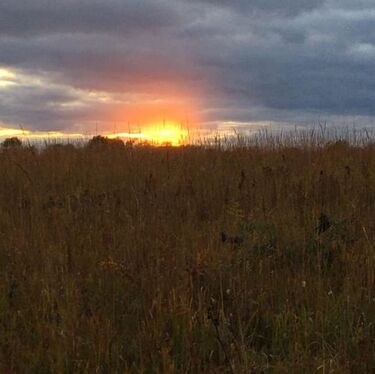
Changing Landscape: A 200-Year History of Land Cover at Nachusa GrasslandsNachusa Grasslands was acquired by The Nature Conservancy in 1986 with a 130 acre purchase. In the years since, Nachusa has grown to 3,800 acres of restored and remnant prairie. Satellite imagery and historical survey records provide insight into the history of the land and show the transformation of the landscape from prairie to agriculture and back to prairie again.
This project used the National Land Cover Database (NLCD) and a map of land cover in the 1800s to quantify and compare the use of the land historically and during restoration efforts. The results of this study were mixed as a result of the larger-grain imagery used in the NLCD and revealed the need for categorized satellite imagery to truly understand the composition of the land at smaller scales. |
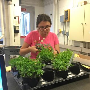
The Effects of Soil Composition on White CloverIn the summer of 2017, I worked as an undergraduate research fellow at the Tyson Research Center in St. Louis Missouri. I assisted Dr. Sara Wright in her PhD research with Dr. Kenneth Olsen studying the genetic and environmental factors that influence cyanide production by white clover (Trifolium repens) In addition to assisting with data collection such as herbivory rates, flower counts, and genotype of clover specimens, I conducted an independent study on how soil background influenced the success of plants in a common garden experiment. I determined that similarity in soil composition and pH were the greatest soil characteristic predictors of success in plants that had been taken from other environments to grow in a common garden.
|
|
|
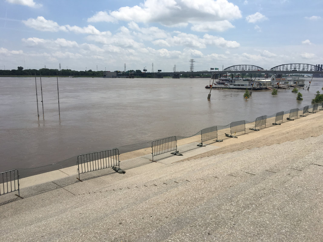
Rising Waters: Costs of Increasing Development of the Missouri River FloodplainIn 1993, the St. Louis region saw a record-breaking flood event. This flood impacted states across the Midwest, with total damage estimates at $15 billion at the time. Since this event, the St. Louis region built and increased the height of several levees in the region in order to prevent another flooding event of this scale. However, urbanization and increasing development along the floodplains of the Mississippi and Missouri River floodplains have continued to increase the risk of a catastrophic flooding event. In this study, NLCD land cover change maps were used to assess increasing urbanization in the time since the flood. Results showed that development continues in many of the same high-risk flood areas that were destroyed in 1993.
|
